
St Nicholas Triangle
E36
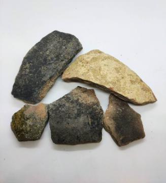
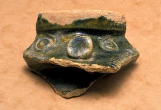
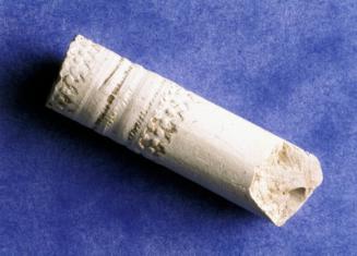
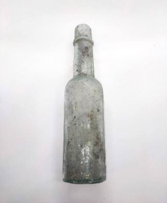
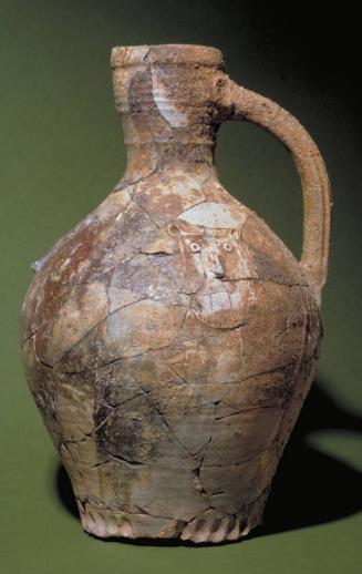
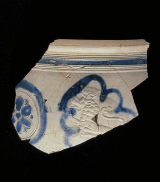
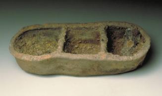
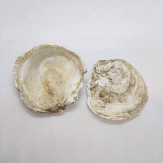
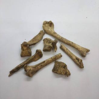
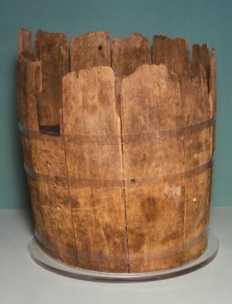
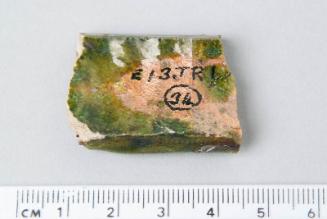
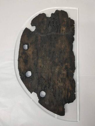
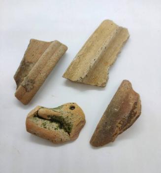
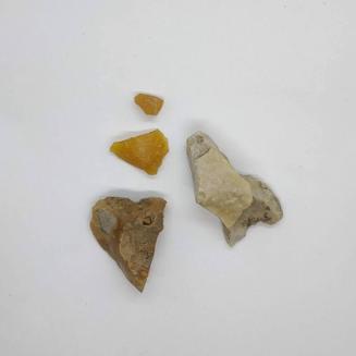
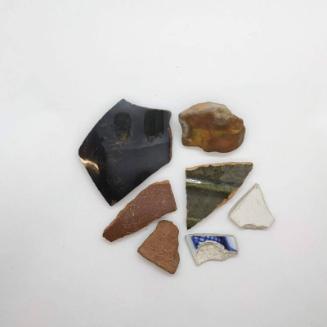
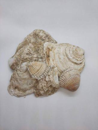
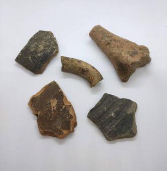
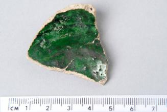
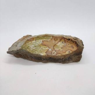
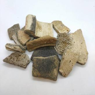
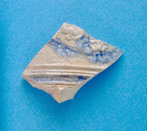
DescriptionExcavation by Aberdeen City Council Archaeological Unit in 1992-3 ahead of the development of area known as St Nicholas Triangle recorded medieval pits, and post medieval pits, walls and a drain. The area had been the site of both St Thomas' Hospital, dated to 1459 and the House of Correction (1636). Even though the site was very disturbed, several medieval pits were discovered, which had probably been in the backlands of a medieval street called Putachieside. A 19th-century stone- and brick- lined drain contained wooden matches, pottery, glass, buttons, copper spoons and a bone toothbrush. The excavation also confirmed that the ground level had been reduced in this area after the construction of Union Street to allow vehicles to pass under Union Street into the Green. The finds from this site are in the collections of Aberdeen Art Gallery and Museums.Location InfoNational Grid Reference: NJ 9412 0624
Easting: 394128.433972234, Northing: 806243.12503289
Postcode: AB10 1HF
Site lies on the W periphery of the medieval burgh; bounded be Correction Wynd, St Nicholas Lane, and St Nicholas Street, forming a triangular area. (Cameron 2001)
NotesCameron, A. (1993) 'St Nicholas Triangle (Aberdeen parish): medieval pits', Discovery Excav Scot, 1993. Page(s): 32 Past. Edinburgh: Society of Antiquaries of Scotland Monograph Series No. 19. 42-49, for a detailed account of the excavation. Reference Numbers
- NJ90NW280
- 80757
- NJ90NW0584