Tillydrone Motte Phase 2
E63
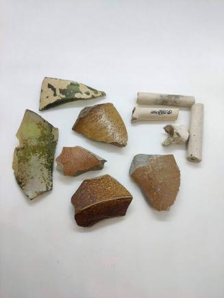
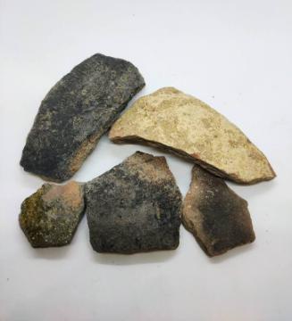
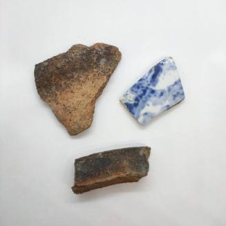
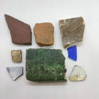
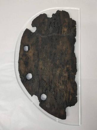
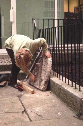
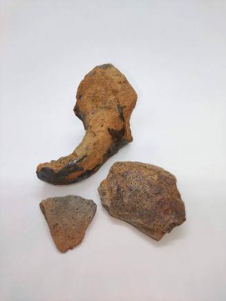
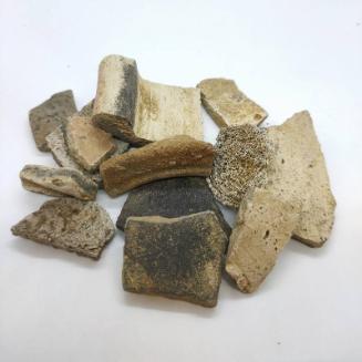
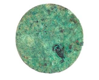
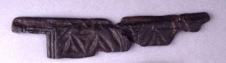
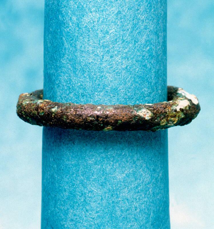
DescriptionA prominent conical mound, formerly thought to be a motte, but which excavation showed to be much earlier, a defended site dating possibly to the Bronze Age, also to the 1st century AD. There appears to have been no medieval occupation of the site. This artificial mound is located at the south end of Seaton Park, Old Aberdeen. The base of the mound is circa 30 m in diameter, the summit flat and oval measuring circa 9 m by 5 m, and its stands between 5 m and 7 m high. It was originally a prehistoric burial cairn and was then reused in the 2nd century AD as a small defended fortlet. It is therefore not a medieval motte or castle mound as was assumed until excavations took place in 2001 and 2002 took place due to erosion of several tracks down the side of the monument. Two of these tracks were excavated as well as areas on the top of the mound and around the base following a geophysical survey of the area in 1999. The excavation revealed a large stone structure at the heart of the mound which appeared to delineate an area in the centre which was probably used for burials in the Bronze Age. Post-holes near the top of the mound on the northeast face contained a number of flint tools and a copper alloy ring, possibly part of a horse harness. In the 2nd century AD, a trench was dug a third of the way down the mound and a fence or wooden revetment was constructed within which a flat area probably housed a number of buildings. A hearth containing a fragment of samian pottery was excavated. On the southeast of the mound an entrance had allowed access into the fortlet through a gate. In the post-medieval period the height of the mound at been artificially raised using sterile sand and gravel, possibly to allow the mount to be used as a beacon or lookout. In the 19th century, an Ordnance Survey trig point stood on the top. Documentary research has shown that the hill had several names prior to its present 'Mote Hill', including 'Tullidrens Hill' (Gordon map 1661) and Tillydrone Hill (Paterson 1746 map). Uses include as a military lookout during World War II, triangulation point for OS 1869 survey, and possible location of the 14th century Bishop's Court. See also NJ90NW3046Location InfoNational Grid Reference: NJ 9366 0886
Easting: 393664.023193723, Northing: 808866.256582928
NotesAshmore, P J. (2002) A list of archaeological radiocarbon dates, Discovery Excavation Scot, New, vol. 3, 2002. Bogdan and Bryce, N and I B D. (1991) 'Castles, manors and 'town houses' survey', Discovery Excav Scot, 1991. Page(s): 23 Cameron, A. (2002e) 'Tillydrone Motte, Aberdeen City (Aberdeen parish), motte; saddle quern', Discovery Excav Scot, vol. 3, 2002. Page(s): 7 Kenyon, J R. (1990a) Medieval fortifications, The archaeology of medieval Britain series. Leicester. Page(s): 13-17 RCAHMS Shelf Number: F.5.2.KEN Ordnance Survey (Name Book. (1848-1878) Object Name Books of the Ordnance Survey (6 inch and 1/2500 scale). Page(s): Book No.69, 67 RCAHMS Shelf Number: Ref Scottish Castle Survey. (1988) 'A directory of the owners and occupiers of the castles, manors and 'town houses' {c.1050-c.1707} of Scotland: Grampian Region'. Aberdeen. Page(s): 5, no.1/78 RCAHMS Shelf Number: B.2.1.CAS Simpson and Stevenson, A T and S. (1982a) Historic Arbroath: the archaeological implications of development, Scottish burgh survey series. {Glasgow}. Page(s): 180 RCAHMS Shelf Number: C.3.3.BUR Simpson and Webster, G G and B. (1972) 'Charter evidence and the distribution of mottes in Scotland', Chateau Gaillard, vol. 5, 1972. Page(s): 180 Yeoman, P A. (1988f) 'Mottes in Northeast Scotland', Scot Archaeol Rev, vol. 5, 1988. Page(s): 131, no. 37 RCAHMS Shelf Number: A1(P)Reference Numbers
- 20205
- NJ90NW0020
- NJ90NW8
Keywords