2-12 Rennies Wynd
E3
DescriptionExcavation carried out in 1977 by Aberdeen City Council Archaeological Unit recorded water-laid deposits indicating that the area was estuarine, The site, shown on Gordon's map of 1661 as garden ground with few buildings, appeared from archaeological observation during redevelopment to have been subject to flooding and waterlogging during much of the medieval period. According to the Ordnance Survey maps, this was the site of the medieval Carmelite Friary (NJ90NW0006), discovered across Rennie's Wynd at 12 Martin's Lane and excavated in 1980-81 and 1994 (NJ90NW0107).Location InfoNational Grid Reference: NJ 9406 0607
Easting: 394060.243411725, Northing: 806070.897578881
Postcode: AB11 6AD
Site located on the W side of the Green during demolition prior to the construction of Litllewoods extension. (Murray 1982)
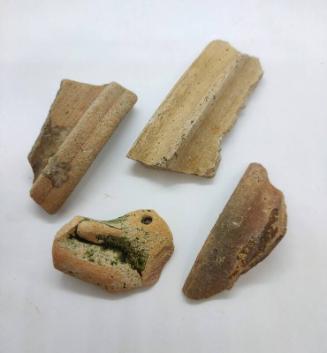
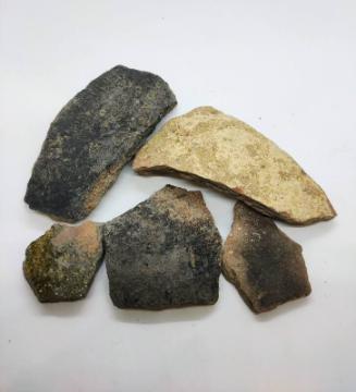
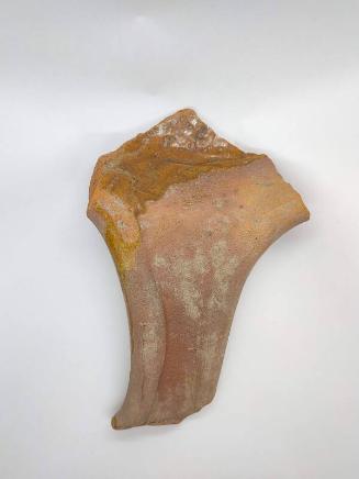
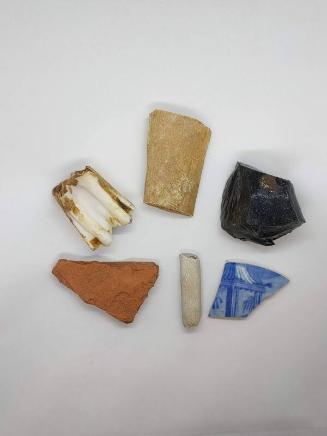
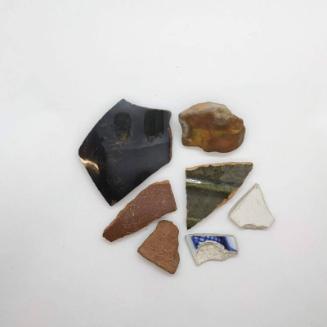
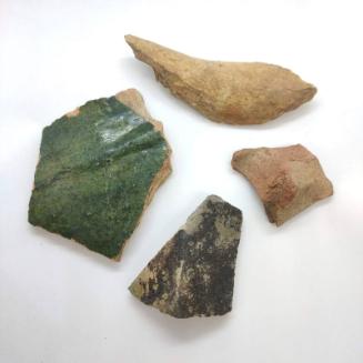
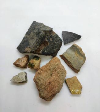
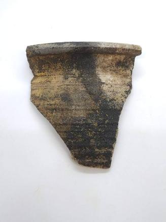
NotesArchaeologist: J C Murray Area was shown on 1954 OS map as possible site of Carmelite Friary (actually 12 Martin's Lane). Excavated demonstrated no extension of medieval activity on the W side of the Green and the area is likely to have remained waterlogged during the period. No artefacts were recovered from site. Murray, C. (1977a) '2-12 Rennie's Wynd', Discovery Excav Scot, 1977. Page(s): 4 Murray, J C. (1982b) '2-12 Rennie's Wynd 1977, in Murray, J C, Excavations in the medieval burgh of Aberdeen 1973-81, Society of Antiquaries of Scotland Monograph Series No.2. Page(s): 112 Stones, J A. (1989b) ''Aberdeen: the excavations', in Stones, J A, Three Scottish Carmelite Friaries. Excavations at Aberdeen, Linlithgow and Perth 1980-1986, Society of Antiquaries of Scotland Monograph Series No.6. Edinburgh. Page(s): 52Reference Numbers
- NJ90NW114
- 20014
- NJ90NW0236
Keywords