Robert Gordon's College (Library Extension)
E50
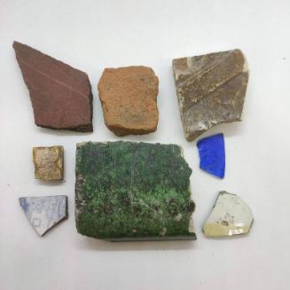
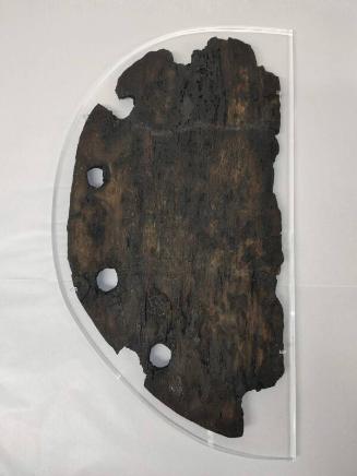
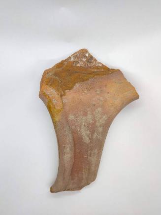
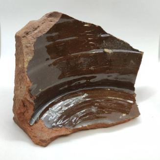
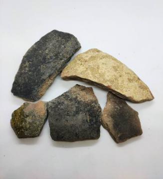
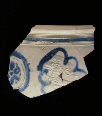
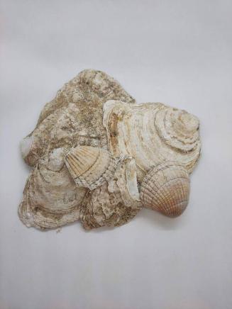
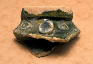
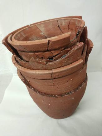
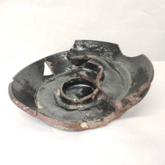
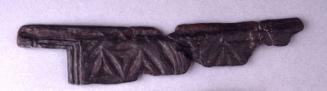
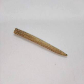
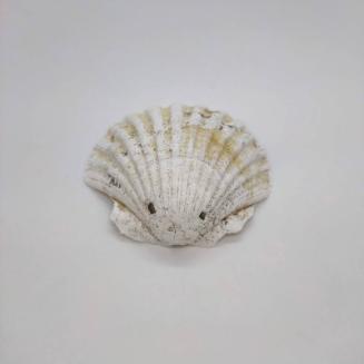
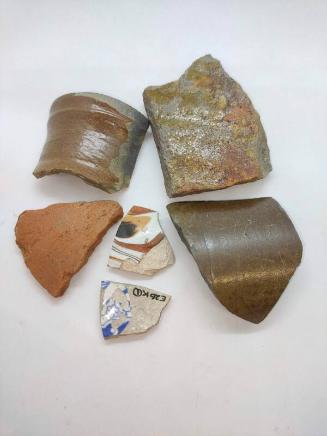
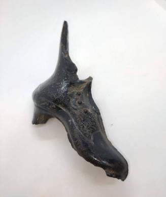
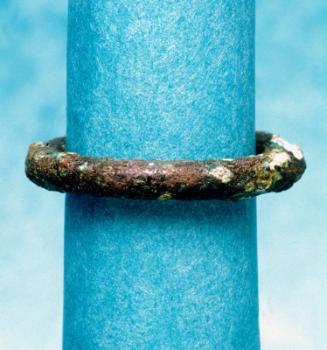
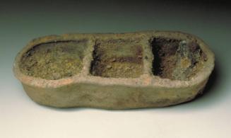
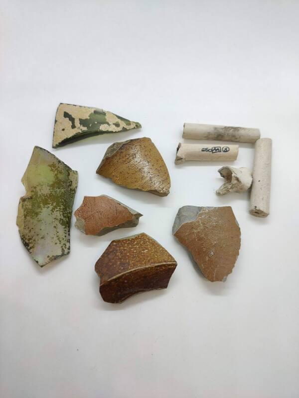
DescriptionTrial excavation was carried out by the Aberdeen City Council Archaeological Unit, between 13th and 18th April 2000 during the construction of a small extension to the school library. Cleaning of the areas to be machine trenched for the foundations of the building under construction, revealed a 'cut' filled with mixed clays. A trial trench through the feature suggested that it was a ditch and that approximately 0.60m of its depth survived. Further excavation of 2.3m of its length revealed that it was a U-shaped ditch with a flat bottom. It was at least 1.6m wide and survived to a maximum depth of 0.65m. Its base was at 18.30m OD. Its top fill was mixed clays, under which lumps of light brown clay covered a layer of dark brown garden soil. The ditch had been cut by the construction of the standing buildings on site, and by the services to these buildings. Finds of brick, pottery, clay pipe, bone, slate and glass in the ditch, suggest a date in the 18th century for this feature. Residual medieval finds included a fragment of window glass, small sherds of earthenware and human, fish and animal bone. At the time of writing, further finds analysis is taking place. Along the west edge of the ditch, three holes may have been post-holes for a fence or revetment along this edge of the feature. These were also filled with the top layer of the ditch. The ditch aligns well with the position of part of the ditch dug around Robert Gordon's Hospital in 1746 to create the Cumberland Fort (NJ90NW0375). The finds concur with this mid 18th-century date. The site currently under discussion represents a very small portion of the area bounded by Schoolhill, Blackfriars Street, St Andrew Street and Harriet Street, presently occupied by Robert Gordon's College, The Robert Gordon University and Aberdeen Art Gallery. Although situated on the western fringes of medieval settlement the area was the location of two important features of the medieval burgh, the Dominican Friary (NJ90NW0041) and the Grammar School (NJ90NW0226). The house of the Blackfriars, or Dominicans, is said to have been founded by Alexander II sometime between 1222 and 1249. There is some evidence that it was in existence by 1257 and from the 14th century it features regularly in documentary sources. There are few details of the layout of the friary, but newspaper articles detailing the finds made during building operations at the site between 1833 and 1923 appear to suggest a concentration of buildings towards the central and western portions of the area (EP Dennison and J Stones, Historic Aberdeen, Scottish Burgh Survey, 1997, 37-9) R.B Strathdee asserts that 'the original [Robert Gordon's] Hospital building stands on the site of the main Monastery buildings; the College Gymnasia and swimming pool are where the chapel and other buildings once stood. The MacRobert Hall and the Art Gallery were built over the Dominicans' burial ground. On digging the foundations of the Gallery large numbers of the bones of those interred were found' (R B Strathdee, In a Monastery Garden, Aberdeen 1970). As well as the church and the usual residential and domestic buildings, which presumably existed, the friary complex included a barn, a kiln, a dovecot and a garden and orchard (E P Dennison and Stones, 37). By 1503, the complex housed a prior and 13 friars. It was destroyed by the Protestant reformers in 1560 and its lands and revenues used to endow the new Marischal College after 1587 (ibid, 38). Although a school was founded in Aberdeen by the 13th century, the first specific mention of a grammar school is in 1418. The school was situated near the Dominican House and St Nicholas Church, on Schoolhill. There is no precise indication of its location, but it is usually thought to have been placed near where it is marked on the attached maps. The last grammar school building in Schoolhill was demolished in 1882- 3 to allow construction of Gray's School of Art.Location InfoNational Grid Reference: NJ 9385 0650
Easting: 393850.797116406, Northing: 806505.731650283
Postcode: AB10 1FE
NotesCameron, A. (2000d) 'Robert Gordon's College, Aberdeen (Aberdeen parish), 'Cumberland Fort' ditch', Discovery Excav Scot, vol. 1, 2000. Page(s): 7Reference Numbers
- NJ90NW1224
- 173335
- NJ90NW0927
Keywords