104 College Street
E71
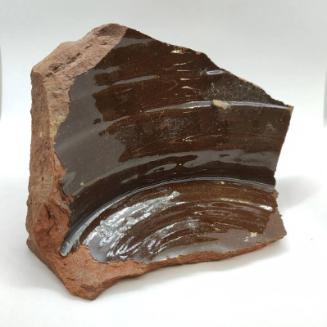
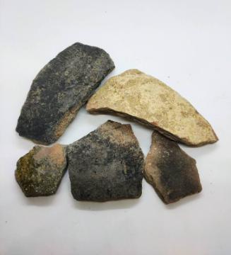
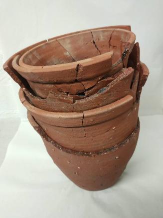
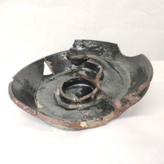
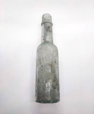
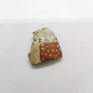
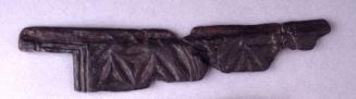
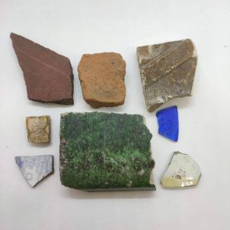
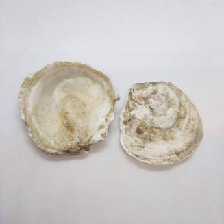
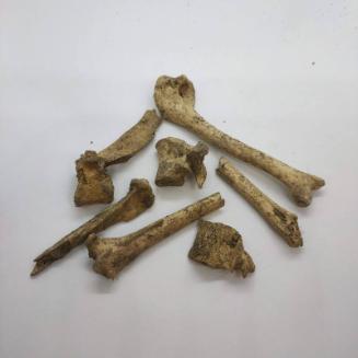
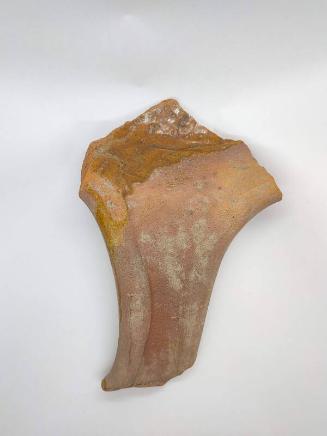
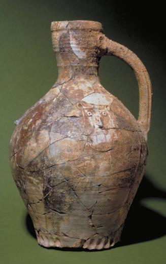
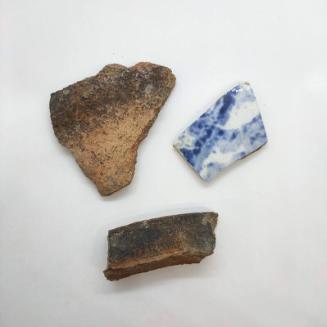
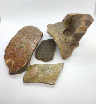
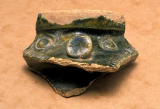
DescriptionFour trenches were excavated by Aberdeen City Council Archaeological Unit in 2003 within the area to be disturbed by the construction of a flatted development. Levels of peat and clay were recorded as well as 19th-century wall foundations. The good quality pink clay recorded is almost certainly part of the seam of clay from which this area got its name. No evidence of clay digging was seen on the site, however. Three trenches on the frontage of the site contained no archaeological remains, but the sand and iron pan subsoil suggests that the area was flooded at one time. This area may be the remains of a small peninsular named 'Pynner Nook', seen on Taylor's map of 1773 map of the area. This peninsular lay between the mouths of the Denburn and the river Dee. Peat recorded in some of the trenches may have been the remains of buried soils, accumulated during a period when the area was either under cultivation or, more likely, waste ground. The area of this site is probably within an area marked 'marish ground over flowed at evry tide' on Parson Gordon's map of 1661 and this may have caused the formation of these peat deposits. The area of this site has potential archaeological and historical importance because of its association over a long period with pottery manufacture. It is known that bricks, tiles and pottery were manufactured in this area, known as 'Clayhills' from at least the 18th century. From archaeological evidence it is clear that pottery and tiles were manufactured in Aberdeen from at least the 13th century, but the orgin and first use of the name 'Clayhills' is unknown.Location InfoNational Grid Reference: NJ 9405 0575
Easting: 394051.514859736, Northing: 805750.484841355
NotesCameron, A. (2003a) '104 College Street, (Aberdeen parish), clay deposits', Discovery Excav Scot, vol. 4, 2003. Page(s): 12Reference Numbers
- NJ90NW0920
- 267674
Keywords