
Peterseat
E53
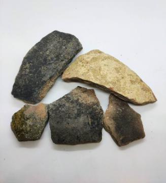
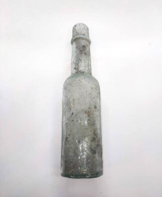
DescriptionExcavation was carried out by Aberdeen City Council Archaeological Unit in January 2001 prior to the development of an area bordered on the north by the field boundary joining Cat Cairn and Baron's Cairn and Peterseat Drive on the south. A total of 19 trenches (with a total area of 1474m2) were excavated with at least one trench was positioned in each field except the most north-easterly field which is occupied by scrub land and quarried areas. Trenches were positioned over the probable location of World War 2 features which was determined from documentary, cartographic and photographic sources, and any significant remains were excavated and recorded. In addition field boundaries, including the consumption dykes, were examined and well-preserved sections recorded photographically, and the exposed surfaces of previously-excavated developers' trial pits were examined after a flint implement was retrieved from one such area (TP42). Archaeological contexts were recorded. Most of the 19 trenches produced some archaeological evidence. Remains of the World War 2 heavy artillery battery, which was converted to a Prisoner of War camp, were excavated in several trenches. The excavated remains represent portions of three of the eight gun emplacements, which had surrounded a small structure. Part of the camp road which originally linked up with the main road to the south of the camp was excavated; part of this road is still visible on the ground. A series of rubbish pits may also be related to the World War 2 camp. The stone 'rumble' drains are associated with the agricultural use of the area under assessment, and probably date from the late 18th to the 20th century. Three worked flints were recovered, one from the top of a developers' trial pit and two from the topsoil in Trench 6. A small number of 19th and 20th-century finds were recovered from the stone 'rumble' drains and from the topsoil in all trenches. See also NJ90SE0038 & NJ90SE39Location InfoNational Grid Reference: NJ 9553 0334
Easting: 395533.082038391, Northing: 803347.341674415
Postcode: AB12 3HT
NotesCameron, A. (2001c) 'Peterseat (Aberdeen parish), assessment', Discovery Excav Scot, vol. 2, 2001. Page(s): 7 Cameron, A. (2011) 'Plots 15 and 16, Peterseat, Altens, Aberdeen City (Nigg parish), evaluation', Discovery Excav Scot, New, vol. 12. Cathedral Communications Limited, Wiltshire, England. Page(s): 11 Harding, D I. (1997) 'Aberdeen area (Aberdeen; Dyce; Newhills; Peterculter parishes), assessment', Discovery Excav Scot, 1997. Page(s): 5 Redfern, N I. (1998) Twentieth century fortifications in the United Kingdom, 5 V. V.1 Introduction and sources; V.2 Site gazetteers: Wales; V.3 Site gazetteers: Northern Ireland; V.4 & 5 Site gazetteers: Scotland. York. Page(s): 6 RCAHMS Shelf Number: F.6.9.CBAReference Numbers
- NJ90SE0214
- NJ90SE20
- 119951
Keywords